
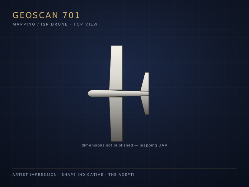
Geoscan 701
Mapping/survey drone, also observed conducting terrain reconnaissance at the front
A mapping/survey drone from the Russian manufacturer Geoscan, primarily intended for civilian land and aerial surveying but also used by state actors. Previously observed at the front in Ukraine conducting terrain reconnaissance; on 1 Sep. 2026 an example was found on a beach near Porvoo (Finland).
Learn more in the Drone Academy →Key data
- Manufacturer
- Geoscan (Russia)
- Type
- Civilian/dual-use mapping UAS — no weapons/explosives found
- Users
- Civilian surveying as well as state/military reconnaissance
Relevance
- Incident
- 1 Sep. 2026: example found on a Finnish beach (Pellinki archipelago, near Porvoo); the Finnish Border Guard opened an investigation into a possible violation of territorial integrity
- Uncertain
- Operator, flight path and purpose of the flight not established; Russian air traffic control had reported a missing civilian mapping drone days earlier — not confirmed whether this is the same aircraft
- Source
- RU Mil Tracker e-20260905-10 (Ukrainska Pravda / Finnish Border Guard via Yle, Sep. 2026) — not independently verified outside this chain
News archive 1
Analysed reports from the RU Mil Tracker about this system, newest first. Archive since 2026-07-17.
-
Finland closes investigation into four armed Ukrainian strike drones that strayed into its territory in spring 2026
Finland's National Bureau of Investigation and the Finnish Border Guard have completed their inquiry into four incidents in spring 2026 in which Ukrainian military drones crossed into Finnish territory. According to the Finnish authorities, all four drones originated in Ukraine, were similar models manufactured for military use, and each carried an explosiv…